Description
Product details
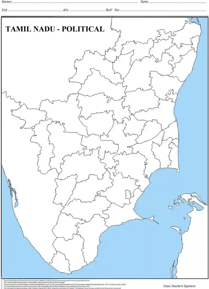
Embark on a visual exploration of Tamil Nadu's political landscape with our Tamil Nadu Political Chart, a meticulously detailed representation of the state's administrative divisions. Crafted with precision, this chart delineates district boundaries, major cities, and key political features, providing a comprehensive overview of Tamil Nadu's political structure. Whether you're a student studying regional governance or an enthusiast eager to understand the political dynamics of Tamil Nadu, our chart serves as an invaluable reference. Elevate your understanding of Tamil Nadu's political geography with this visually compelling and educational tool, where each boundary and label offers insights into the nuanced governance that shapes this southern Indian state.